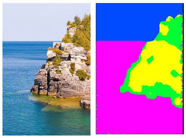
Papri is a classification method based on the texture of the image. It uses a sliding window within which textural indices are calculated and compared to a reference texture database to produce the classification.
Contact: Frédéric Borne
Examples :
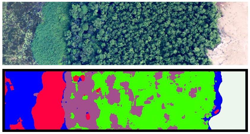
Tropical Forests

Mangroves
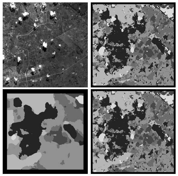
Paddy Fields
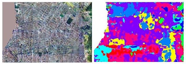
Urban areas
Other images
Publication
BORNE F., VIENNOIS G., Texture-based classification for characterizing regions on remote sensing images, JARS Journal of Applied Remote Sensing, vol.11 num.3, 2017/09, DOI: 10.1117/1.JRS.11.036028, ISSN : 1931-3195, 1931-3195
Contact